Project Spotlight: Using Mobile Mapping Technology to Uncover Hidden Underground History at 470 Atlantic Avenue
dgt2026-05-15T15:42:33+00:00Project Spotlight: Using Mobile Mapping Technology to Uncover [...]
Project Spotlight: Using Mobile Mapping Technology to Uncover [...]
Protect Your Assets: It's Time to Invest in [...]
Radar Tomography: Enabling Accurate, Safe, and Cost-Effective Mapping [...]
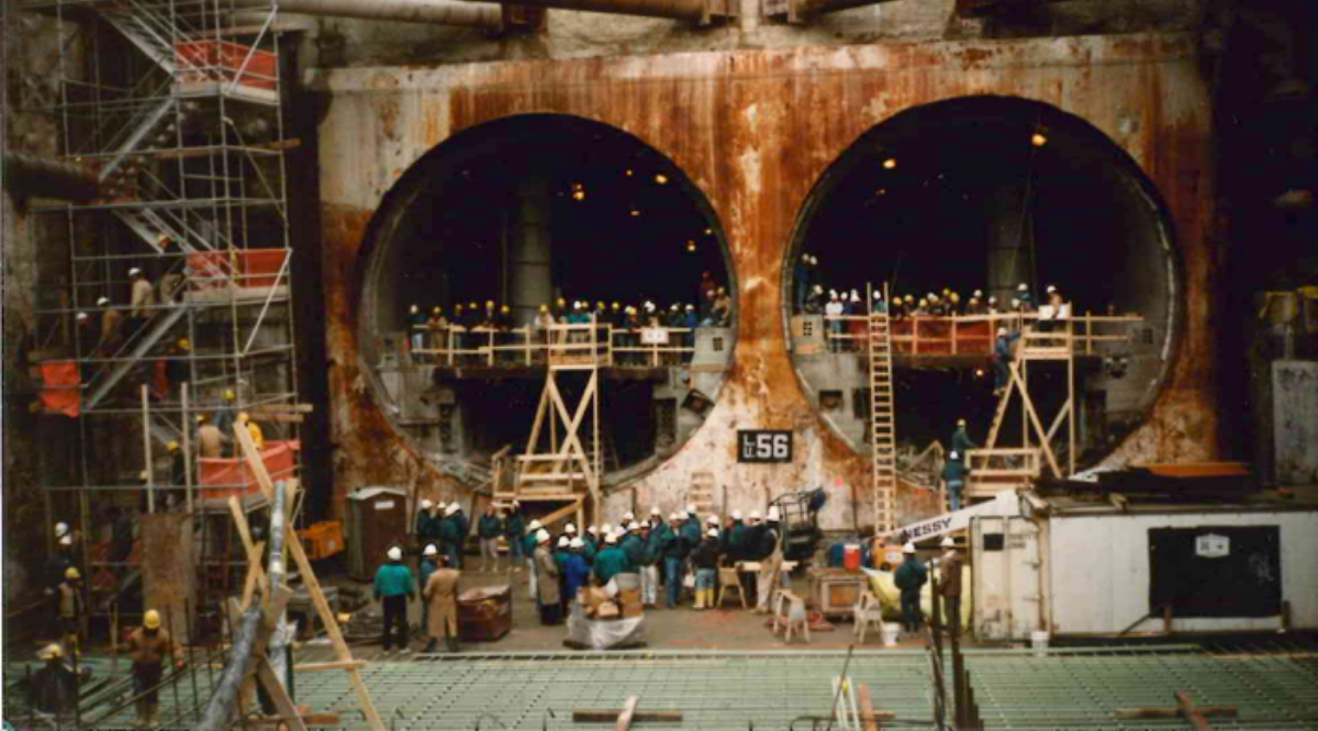
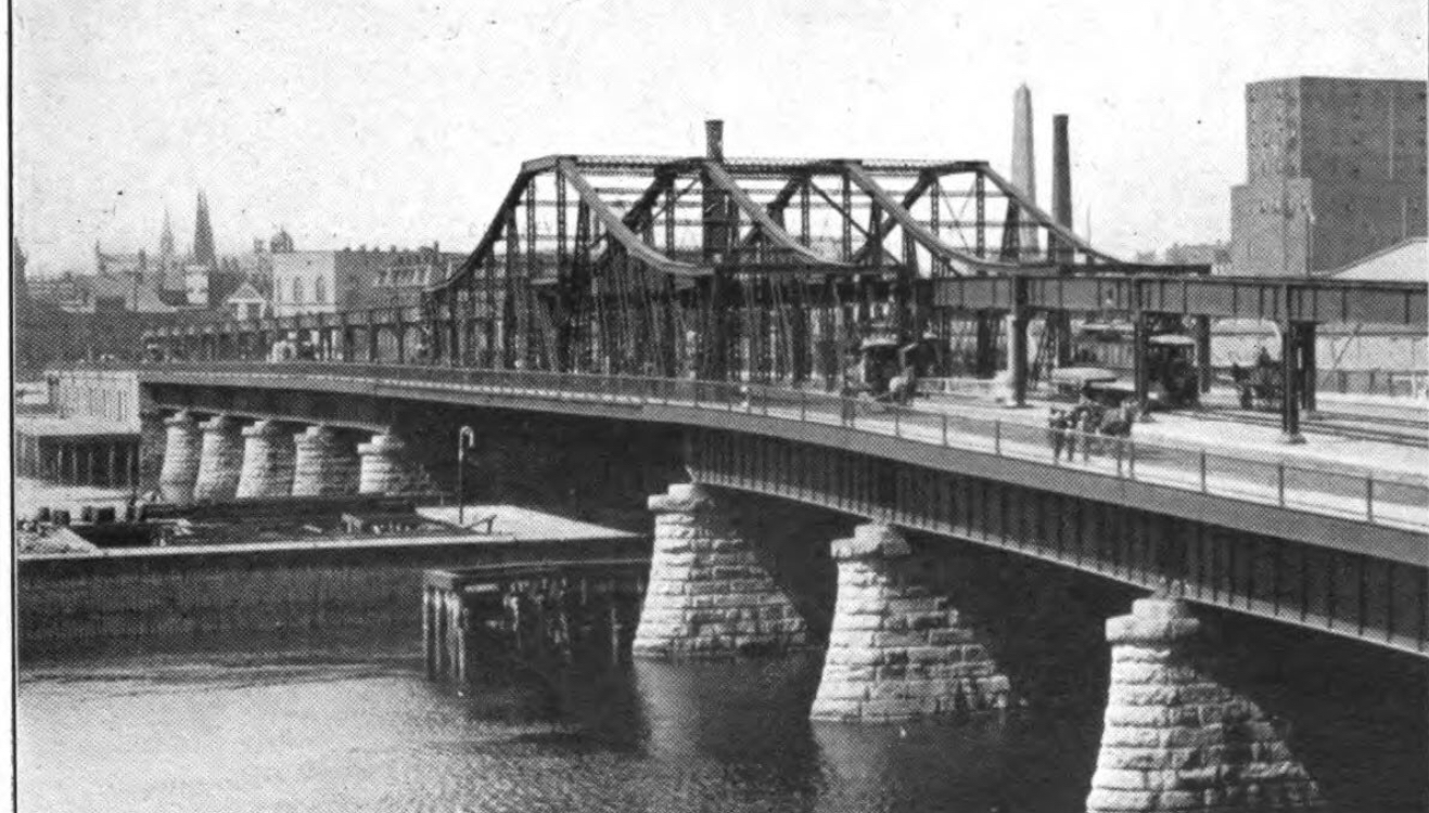
Boston's Big Dig: The Beginning of a Legacy—DGT [...]
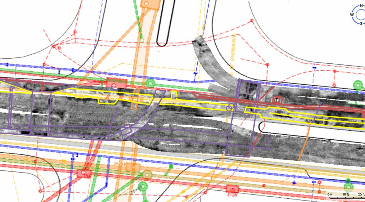
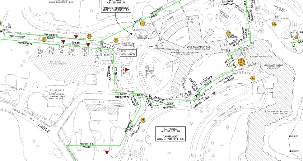
Project Spotlight: Mapping Layers of Utility History Underground [...]
Radar Tomography Explained: A Multilayered Process for a [...]
Radar Tomography Explained: Advantages & Applications for Utility [...]
Survey Mapping with Drones: The 200-Foot Perspective [...]
From Marking to Mapping Blog Series [...]