

Mapping a 13-Acre Campus, Above and Below Ground
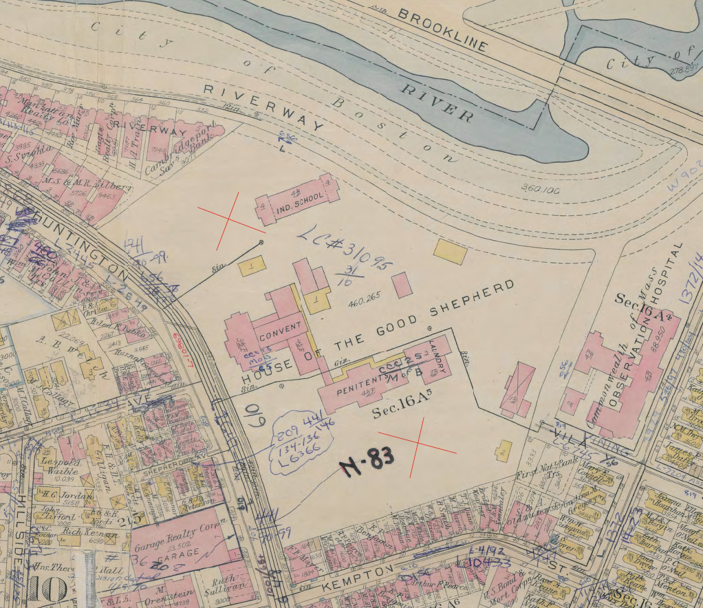
Mission Park’s 13-acre Roxbury campus sits largely on top of a 1970s underground garage, and decades of redevelopment had left its utility records full of gaps. Ahead of planned renovations, DGT combined boundary and topographic surveying, Quality Level B utility mapping, and 3D laser scanning to give the client one coordinated record of the site, above ground and below.