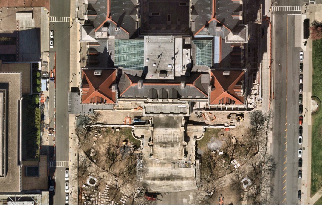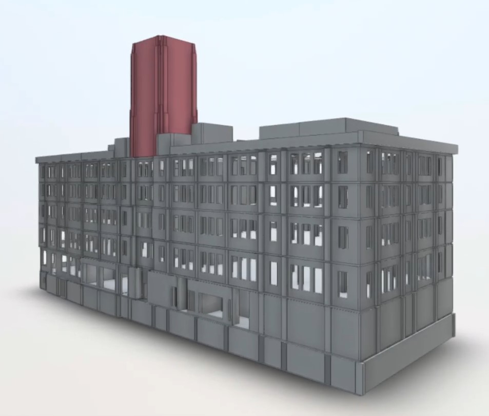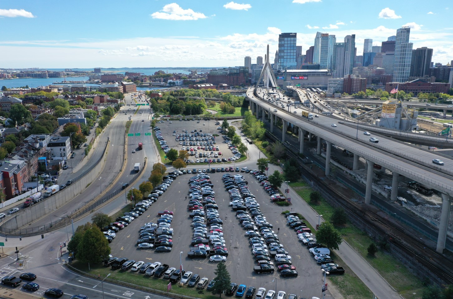

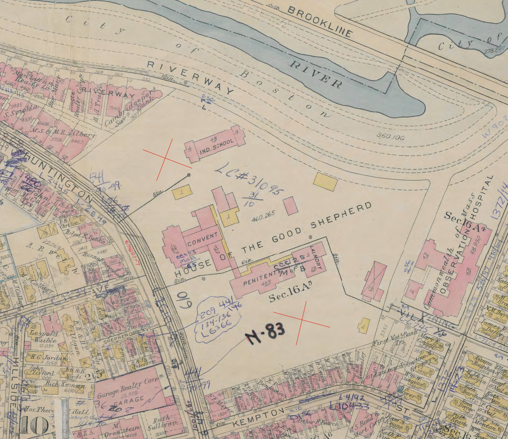
Mapping a 13-Acre Campus, Above and Below Ground
dgt2026-11-19T21:31:12+00:00Mapping a 13-Acre Campus, Above and Below Ground [...]

Mapping a 13-Acre Campus, Above and Below Ground [...]
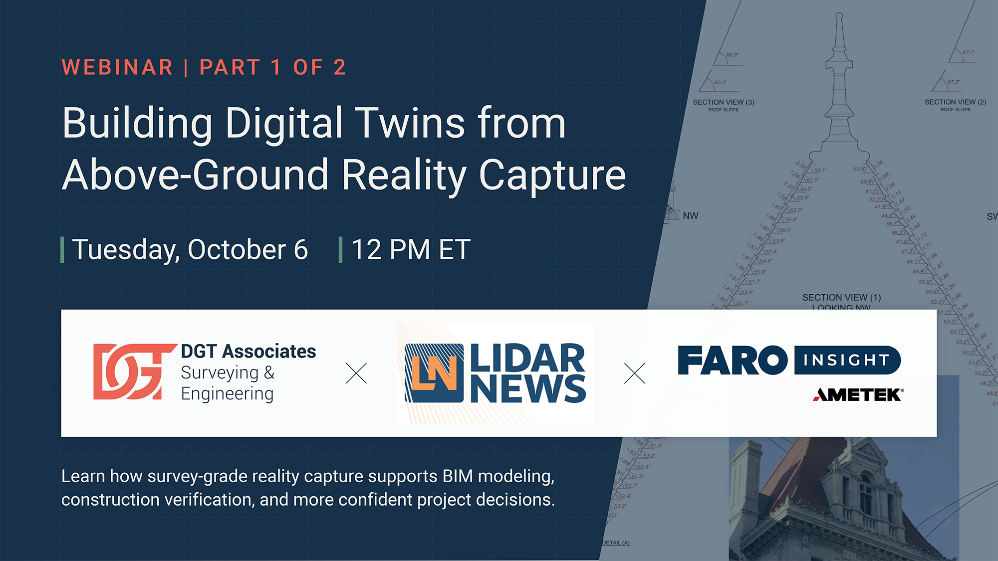
LiDAR News Webinar: Building Digital Twins from Above-Ground Reality Capture [...]
LiDAR News Webinar Recap: How DGT Applies 3D [...]
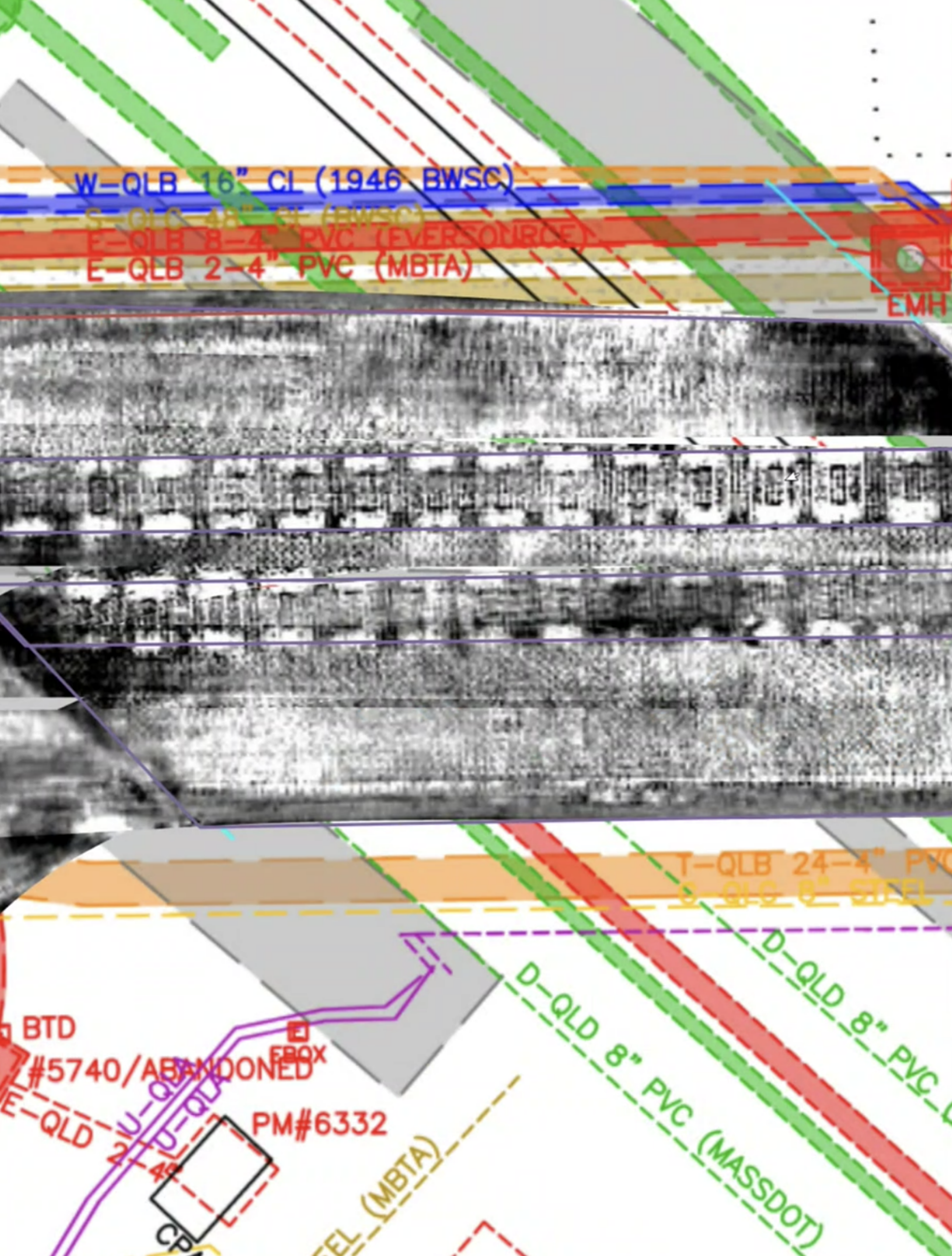
Subsurface Utility Mapping Beneath 200 Years of Change [...]
Behind the Quote: What a Survey Estimate Actually [...]
The Pre-Construction Work Behind a Successful Office-to-Residential Conversion [...]
Tech-Savvy Isn't the Same as Licensed: Why Credentials [...]
Project Spotlight: Building a Digital Twin of Plymouth [...]
Lost in Translation: The Evolution of Utility-Produced Mapping [...]
Infill Development Is Thriving—On Top of Some of [...]