Boston’s Big Dig: The Lost Files
Boston’s Big Dig: The Lost Files
As a thriving yet geographically small metropolis, Boston has always struggled with congestion due to automobile traffic. However, what we experience today is nothing compared to the world-class traffic jams that occurred in the 1990s, specifically in the Central Artery Tunnel—a highway running through the heart of the city. At its problematic peak, traffic in the Central Artery Tunnel saw over 200,000 vehicles passing through each day, accounting for 10 hours of traffic daily and costing commuters over $500 million annually in accidents, gas, and more.
To solve the bottleneck, the Federal government and the Commonwealth of Massachusetts, guided by city officials, contractors, engineers, and planners, set out to create a new and improved roadway system dubbed the Central Artery Tunnel project—more infamously known as the “Big Dig.” While there were many unintended consequences from the Big Dig, the most tragic was that the most valuable project records were lost leaving virtually no documented trace of the work done over more than two decades. The truth of the project lies solely in the streets of Boston.
Before the Build
The Big Dig, as we came to call it, was an automobile transportation improvement project originally called the Central Artery Third Harbor Tunnel project. Project planning, while not commonly known, actually began in the 1970s and originally started as two opposing projects. One project was designed to extend I-90 and the Mass Turnpike through Boston to Logan Airport. The second project was designed to tear down and replace the Century Artery Tunnel, nicknamed by locals as “the Distressway,” with an underground highway system. At the time, officials were going to have to decide which project was more important.
When Ed King, Boston’s former Governor and previous Director of MA Transportation, lost the election to Michael Dukakis, the project shifted from Ed’s I-90 approach to Michael’s. Michael Dukakis was much more interested in improving the I-93 (Central Artery) system into Boston, which was an inefficient elevated structure built in the 1950s ramming right to the heart of the city. The structure was aesthetically unpleasing and more importantly blocking the waterfront to residents and limiting entry into that part of the city. However, when Michael Dukakis consulted Fred Salvucci, a brilliant civil engineer transportation expert in Michael Dukakis’ administration, they came up with a plan to tackle both projects. With that, the Big Dig was born.
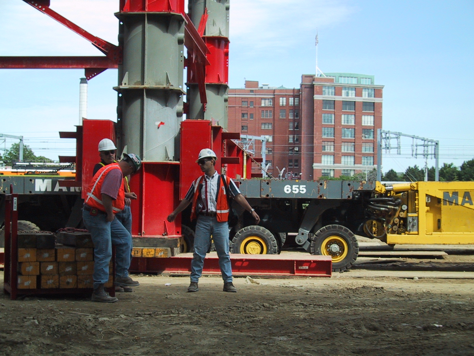
Fifteen Years Later


Originally scheduled to end in 1998 with a price tag of $2.8 billion, the Big Dig came to its conclusion in 2006 with the sticker shock of $14.6 billion. While there were many wrong turns taken on the project from inadequate materials to underestimated costs, one of the most unacceptable was the lack of subsurface utility planning and “as built” records of the subsurface tunnels and utility structures during the project.
Before digging there was almost no validation of underground utility assets, and when contractors went into construction, the designers, in a misguided judgment, ignored prior recommendations by the Federal Highway to perform Subsurface Utility Engineering (SUE). There may not have been multi-array Ground Penetrating Radar system available or widespread GPS integration with cloud-based solutions like we see today, but there was an opportunity to do the fundamentals of SUE utilizing utility line tracing (EMI) and skid antenna radar systems. In addition, Boston industry professional in the area should have taken into account that the streets are 200 years old with busy corridors. So, when a project requires utility relocation, it’s extremely important to do due diligence.
In the case of the Big Dig, there was no verification done which quickly caused problems and resulted in designers relocating utilities into the corridors of the financial district because downtown offered limited space with the harbor water on one side and the project on the other. DGT’s founders, Mike Clifford and Bob Staples, along with our Project Director for Subsurface Mapping, Michael A. Twohig, were one of the many industry professionals on site working on the Big Dig.
Unlike the vision of planners and engineers of Boston’s original Big Dig, for the Massachusetts Transit Authority in 1895, the costs of negotiating with contractors, time delays for re-design, and escalating budgets related to utility works cost the project dearly. While we did learn to work with asset owners (Boston Edison and Boston Gas) and develop great relationships in these relocation works, the lack of subsurface investigation and design adjustments in planning came at a cost not just to traffic but also to all the surrounding businesses that were abutter to these types of projects.
A New World with No Record of it
With all the construction and new infrastructure underway on the project, we always assumed that once the project was over, we would know exactly where every underground asset was. Especially because the city had changed so many times, the idea of having a reliable and accurate utility atlas was extremely exciting. Records would have been used for operating and managing the highway system and valued by underground stakeholders who worked tirelessly to help relocate and reconnect valued assets along the project. However, even with the emerging technology of the ‘90s, we see today that the legacy data from the project is mostly nonexistent and the critical details that were so easy to survey and map during construction are now incomplete and ambiguous.
At DGT, we rely on the records of our legacy firms to provide historical perspective. The records we’ve obtained from Aspinwall & Lincoln, Crocker, Hennessy, Cullinan, Gunther, and Schofield Brothers provide us with 144 years of rich history and knowledge of the region. And we find that our own records from the Big Dig have served us well in our work today in the heart of Boston. However, not all firms have the luxury and competitive advantage of these records. The project managers on the Big Dig should have been able to provide us, all survey and engineering professionals, with these resources but instead, they cleared the whiteboard.
Was the Big Dig Worth it?
While it’s easy to see the flaws, the project did have tremendous economic and transportation benefits. It also saw the tragic loss due to a inexcusable ceiling component failure that severely injured a motorist and claimed the life of a passenger. At a time of a recession, the Big Dig created jobs and generated an economic boom in Boston. From a transportation perspective, the project reduced congestion, therefore lowering the number of accidents and gas emissions. Most importantly, the project taught us lessons. Lessons about the importance of project planning. Lessons about the significance of underground utility mapping. Lessons about the impact of technology in our industry. Ultimately, those lessons guided DGT’s decision to dedicate an arm of our operations to Subsurface Utility Mapping (SUM)—shaping who we are today. So, was the Big Dig worth it? We’ll leave that decision to you.