3D Scanning & Imaging Services
Accuracy and experience you can build on.
DGT Associates has been at the forefront of innovation and technology within the industry for years. As one of the region’s earliest firms to develop and deploy 3D-scanning technologies, we now boast a breadth and depth of expertise that is nearly unmatched.
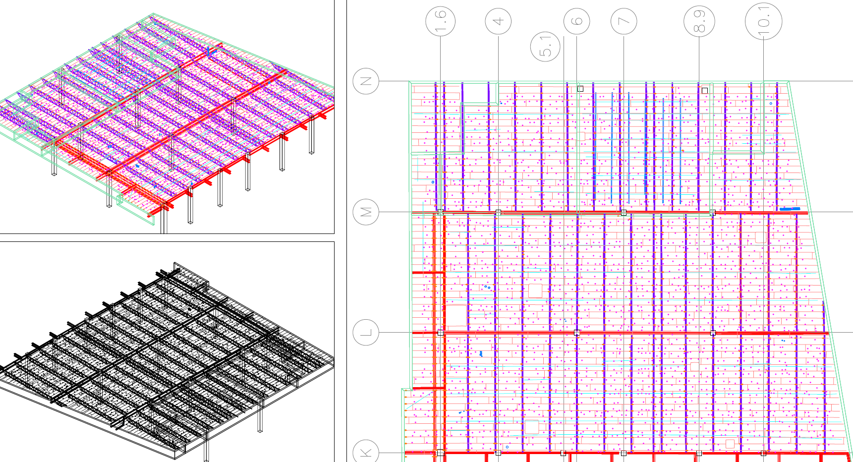
By leveraging BIM-ready existing conditions survey data, we help our clients confidently and efficiently control costs, reduce change orders, and keep projects on track.
Our Services
- 3D Laser Scanning (Ground-based LiDAR)
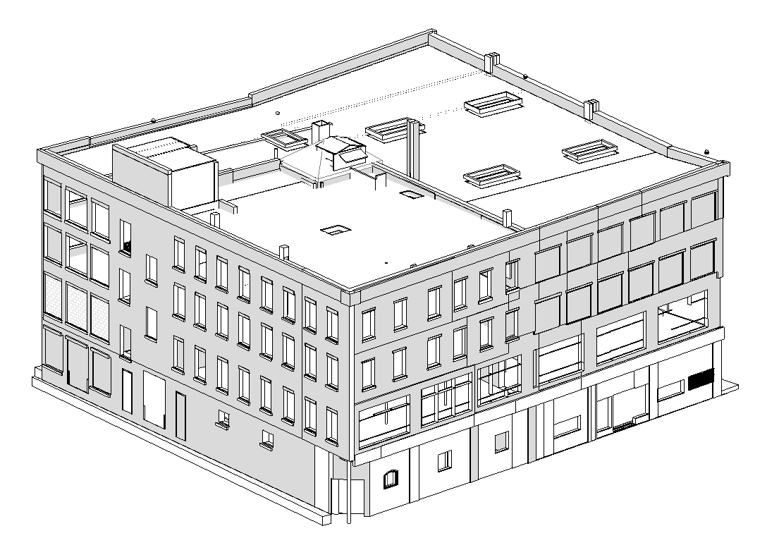
- Building Existing Conditions Modeling
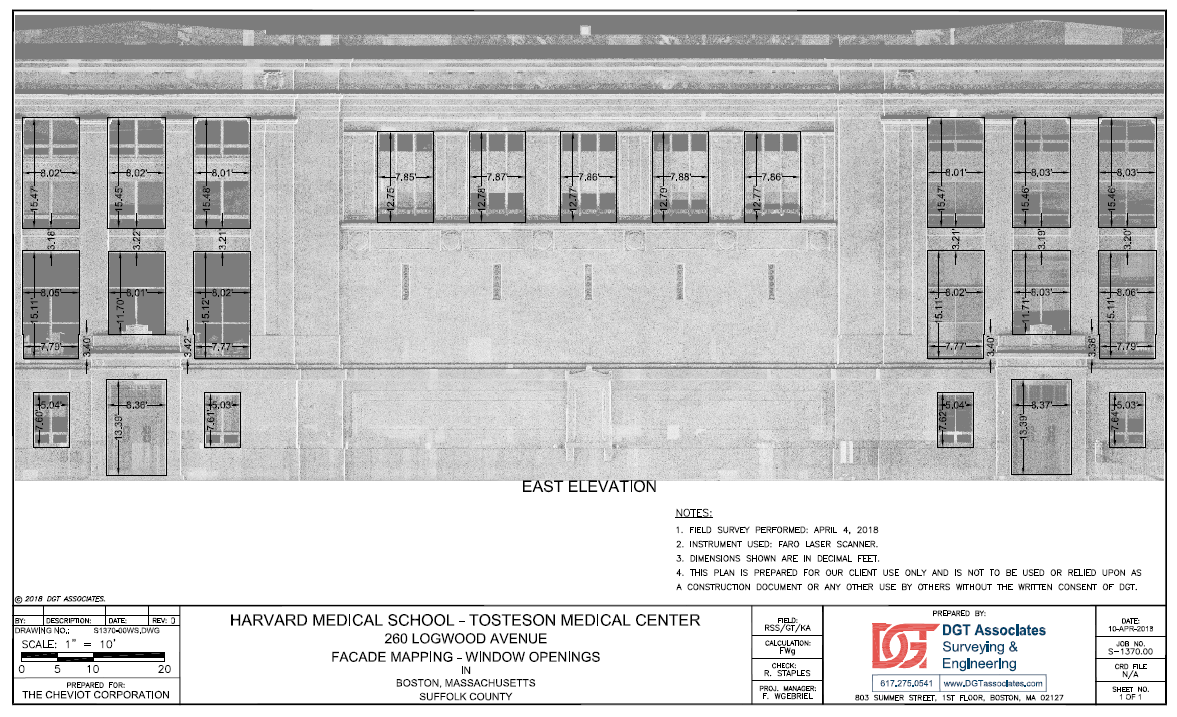
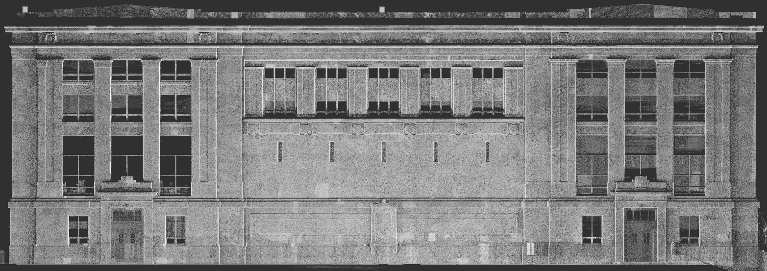
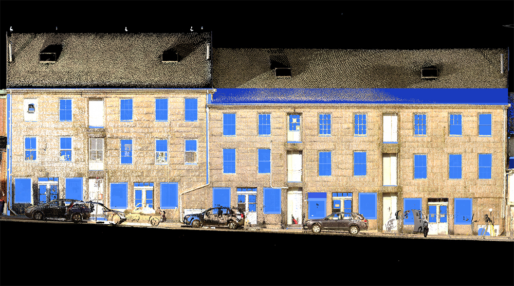
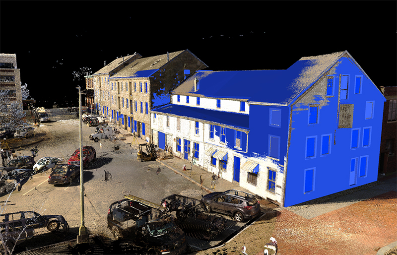
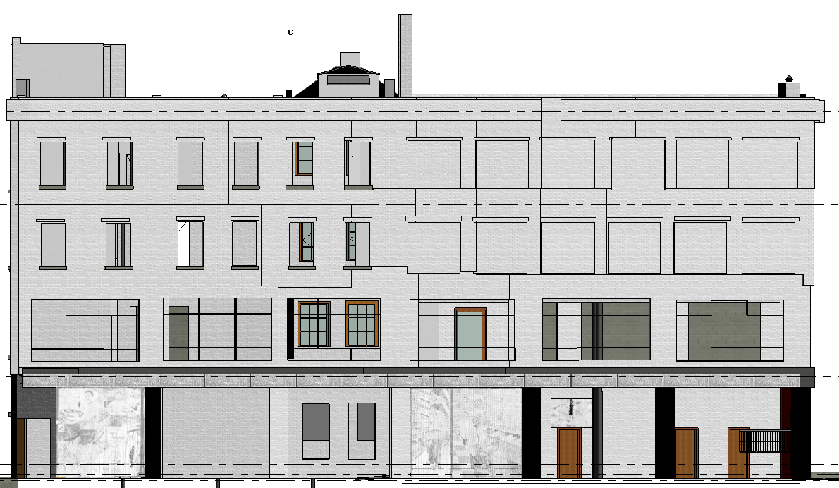
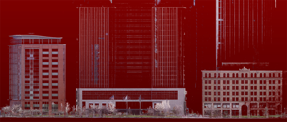
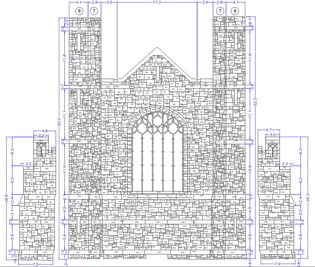
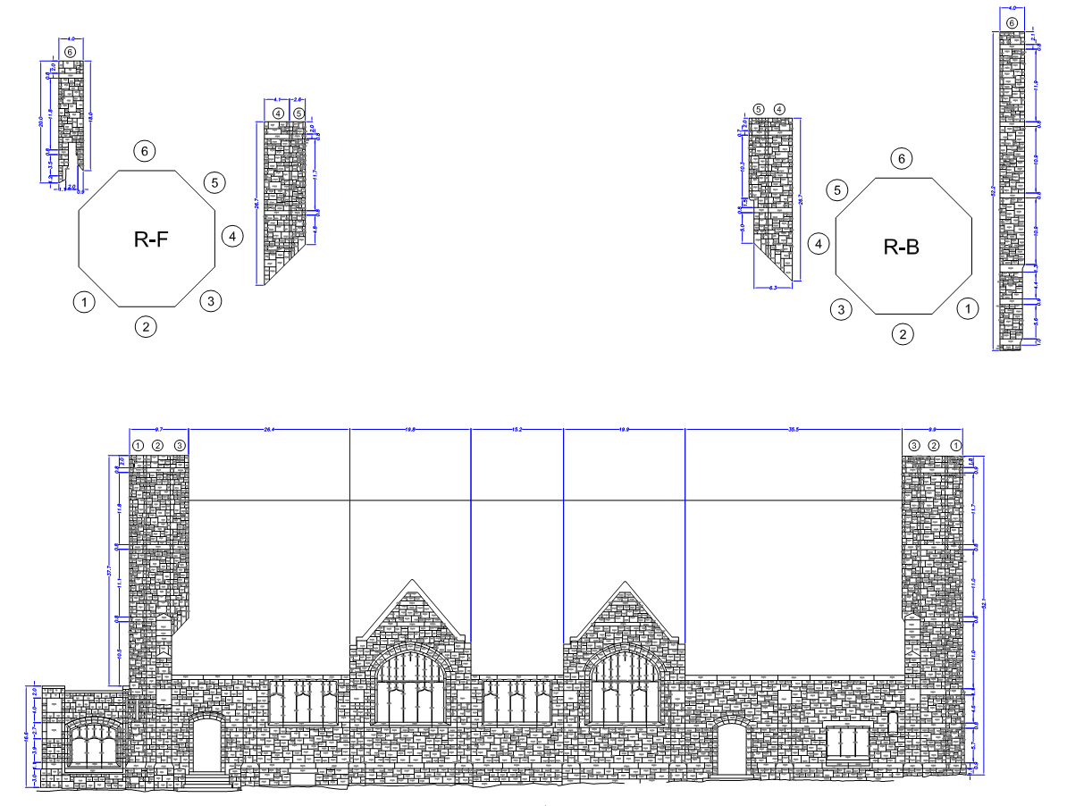
- Building Façade Mapping
- Building Information Modeling (BIM) Development
- Revit Modeling
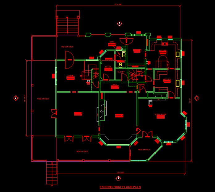
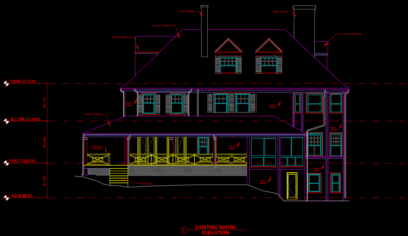
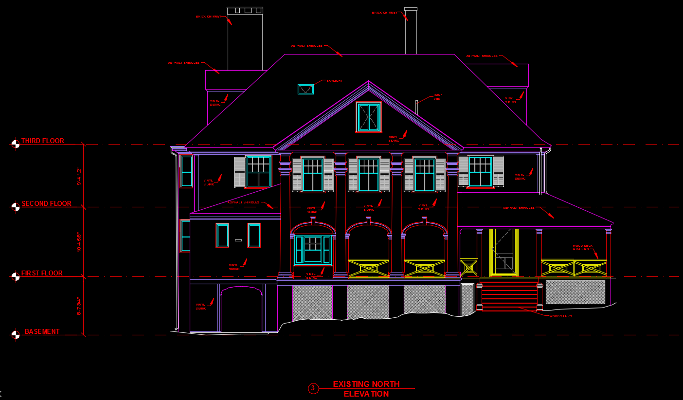
- 2D CAD Drawings
- BOMA Floor Area Measurement
- Floor Flatness Surveys
- Forensic Surveys
- Historic Resource Documentation
- Site Documentation
Common Survey Applications
- Existing conditions surveys
- Civil infrastructure
- Building facade mapping
- As-Built surveys
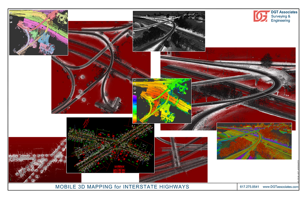
- Highway or street mapping
- Construction verification
- Constructability review
- BIM project support
- Clash detection and avoidance
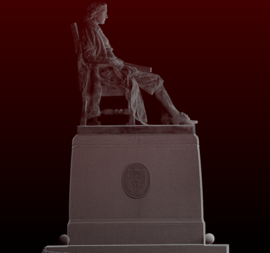
- Historical and heritage preservation
- Accident and crime scene forensic mapping
- Monitoring construction progress
- Dispute resolution and litigation support
- Plant or building retrofits
- Interference detection and avoidance
- 3D modeling & special effects
- Virtual reality
- Deformation monitoring
- Bridge structures
- Document street furniture
- Utility infrastructure
- Hazardous environments
- Pre-fabrication for design
- Construction tie-in locations
- Building rehab surveys
Superior Technology
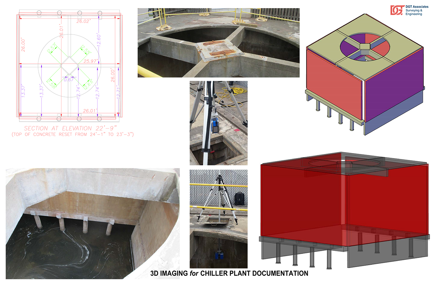
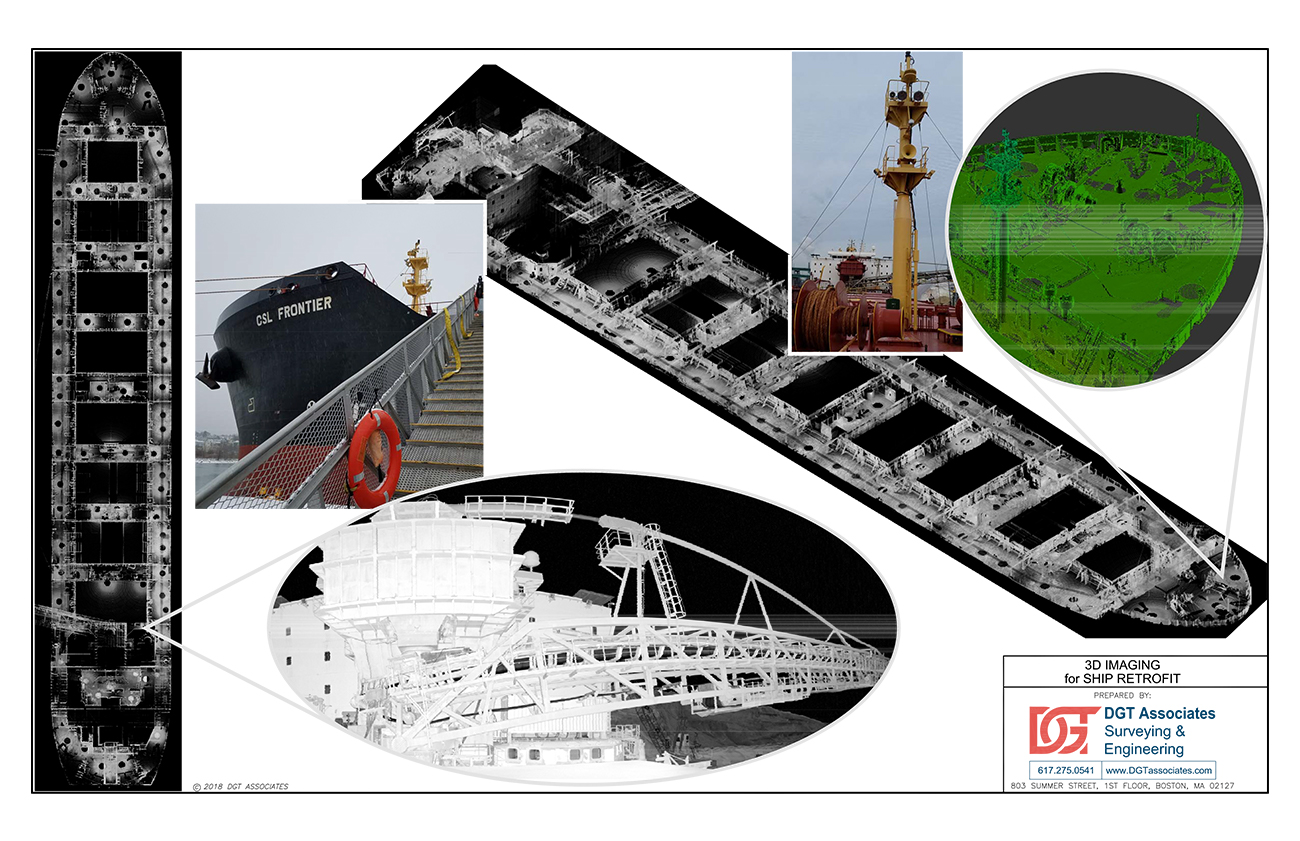
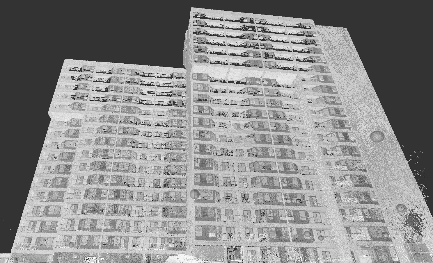
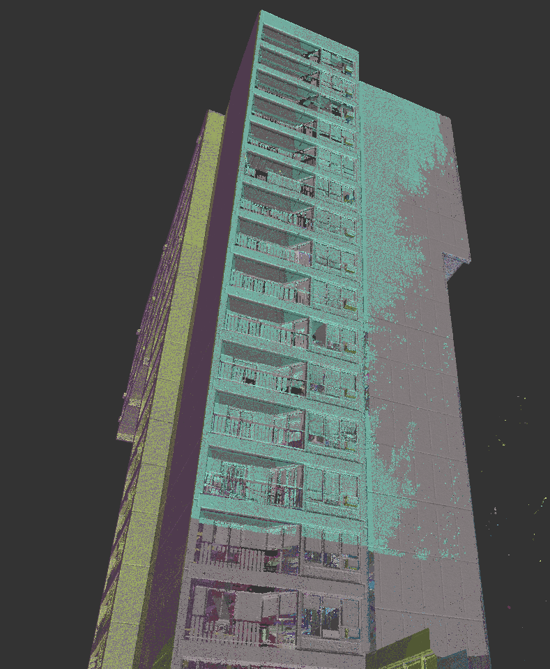
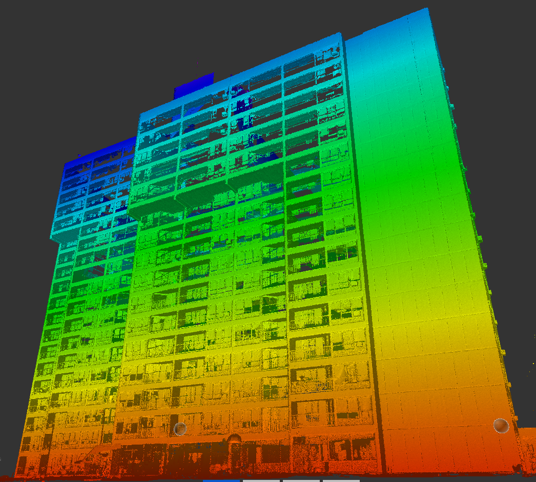
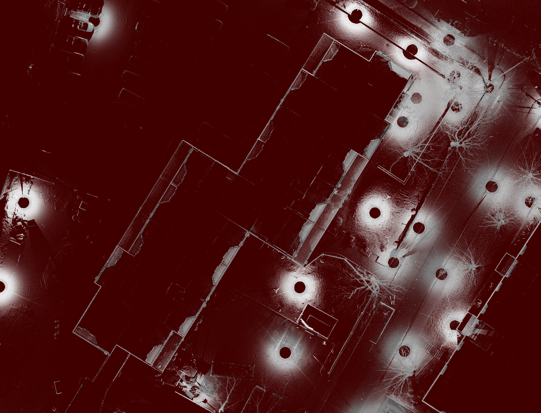
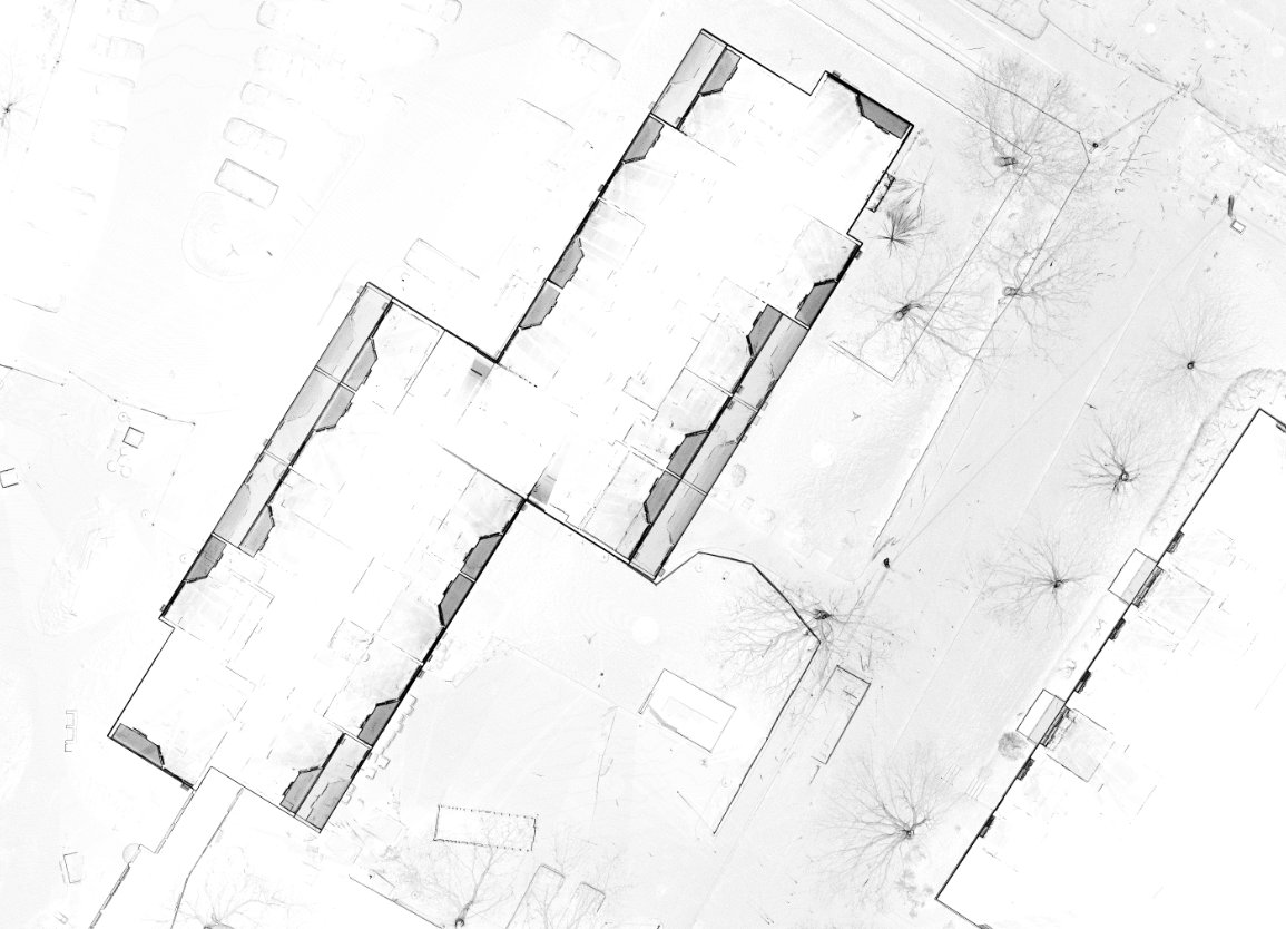
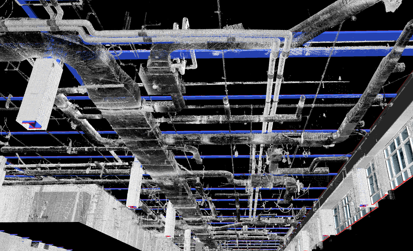
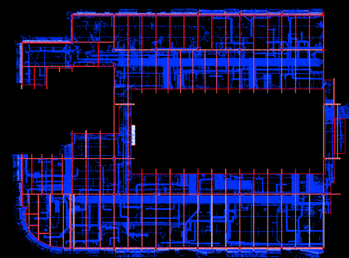
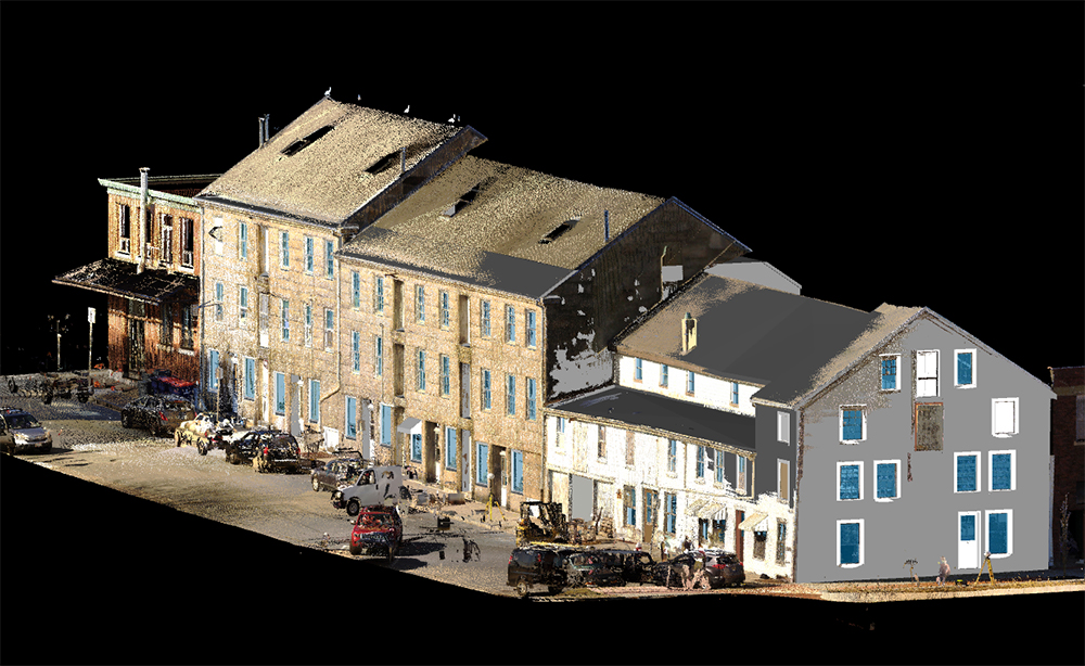
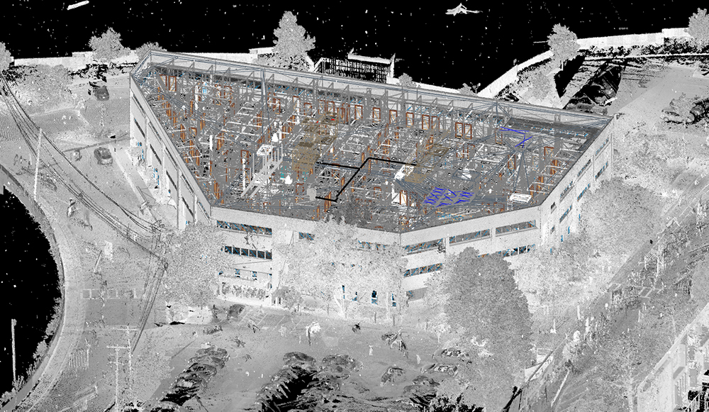
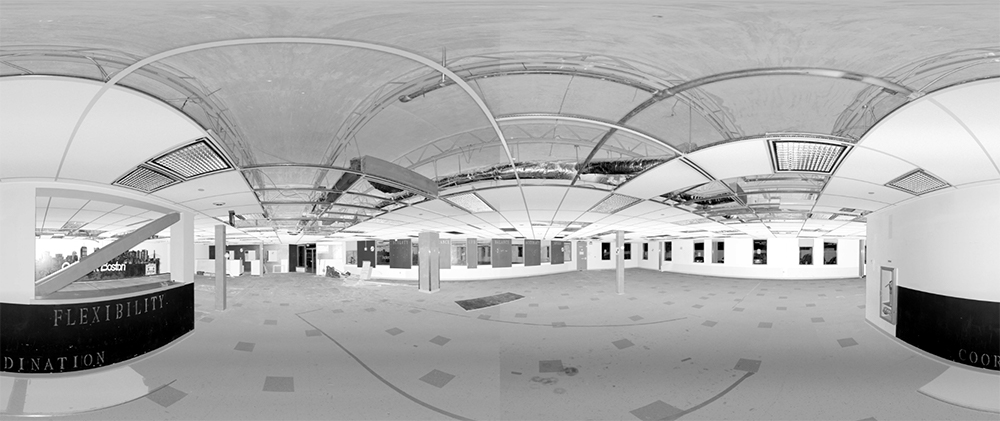
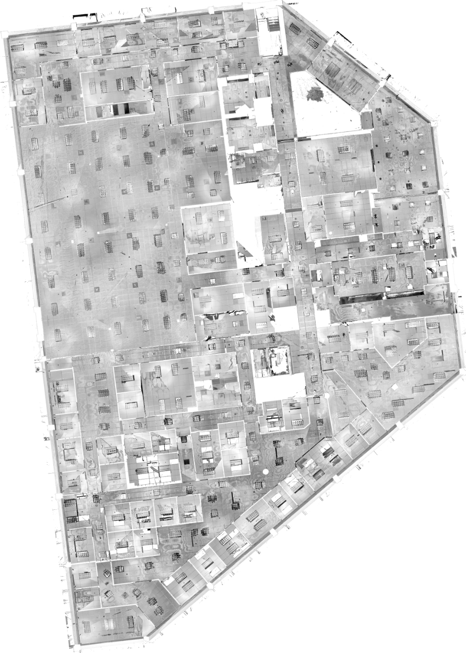
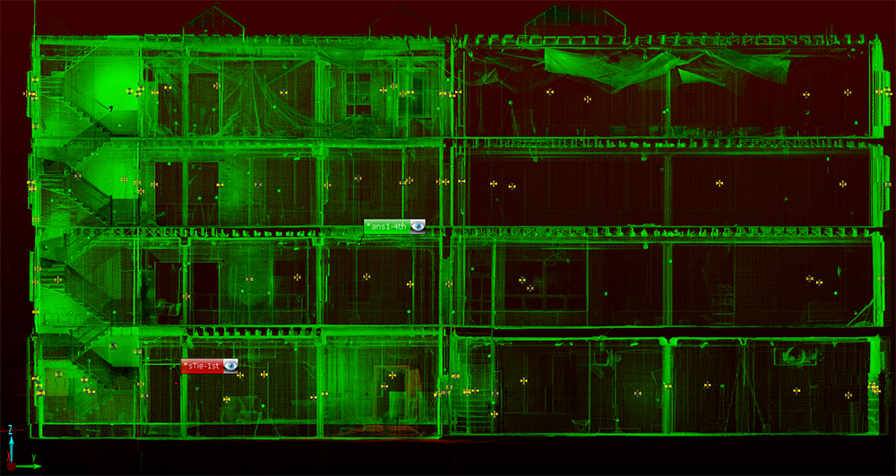
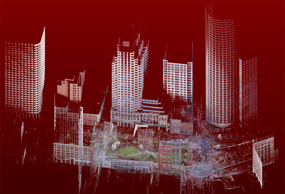
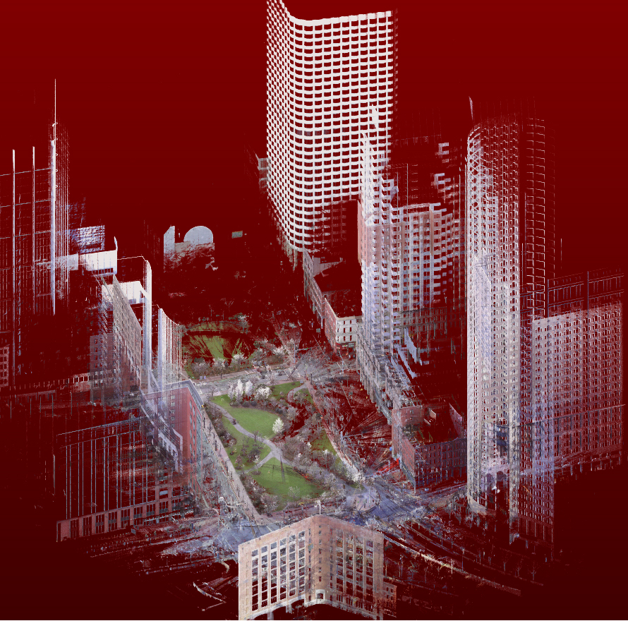
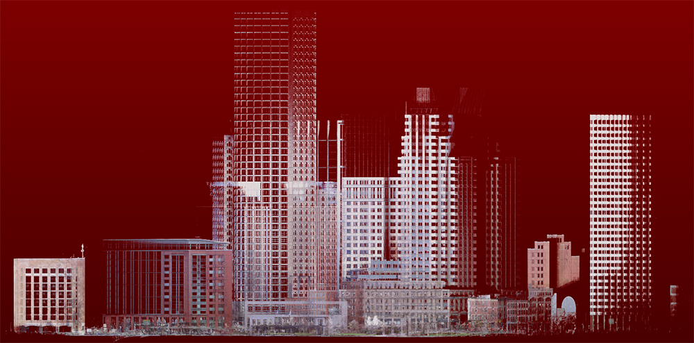
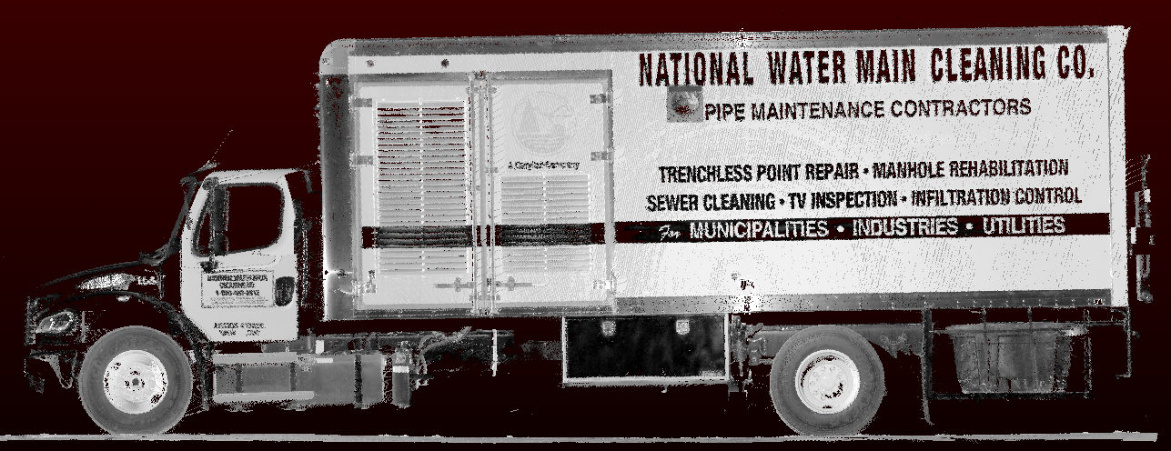
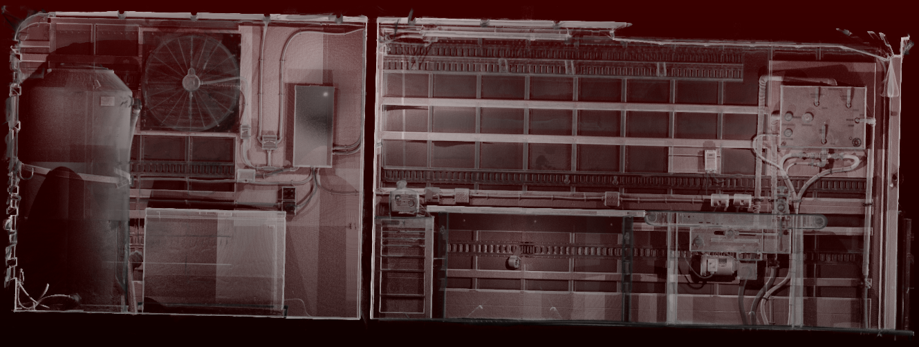
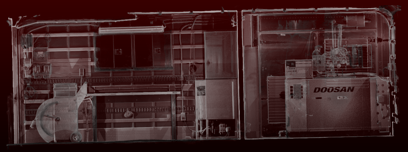
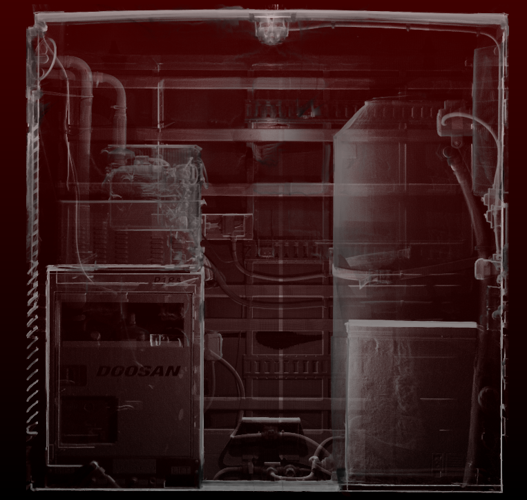
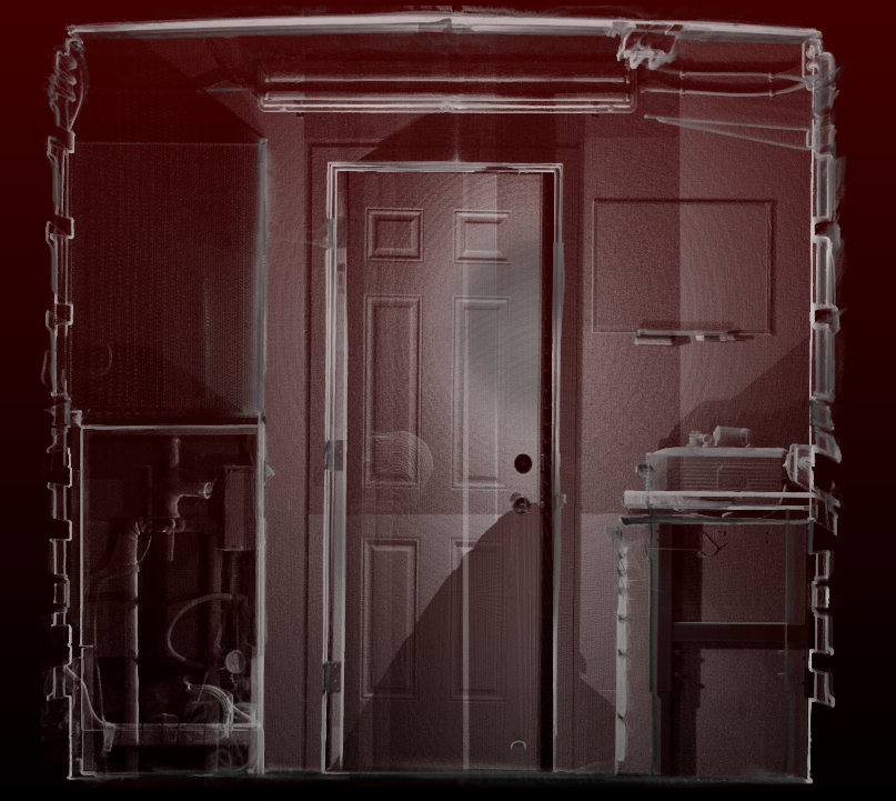
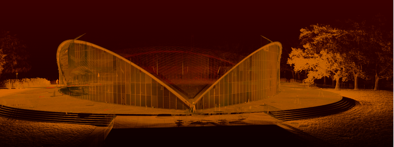
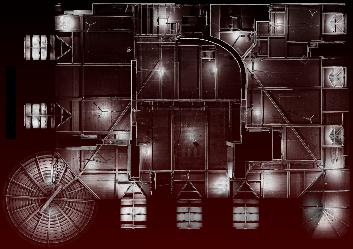
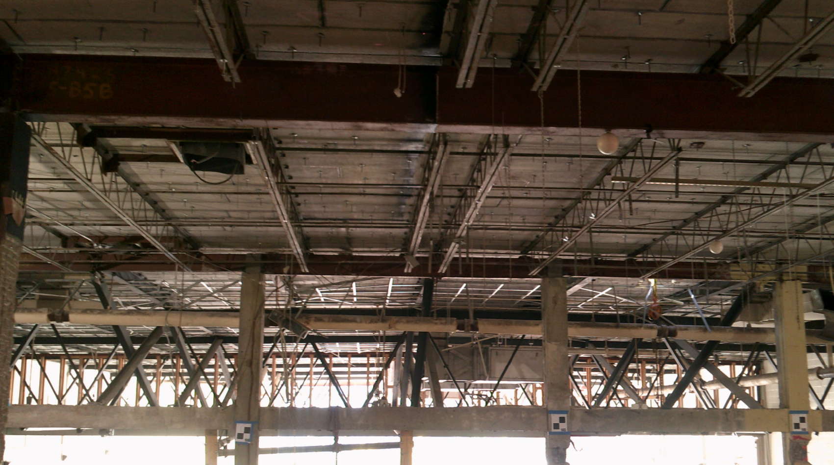
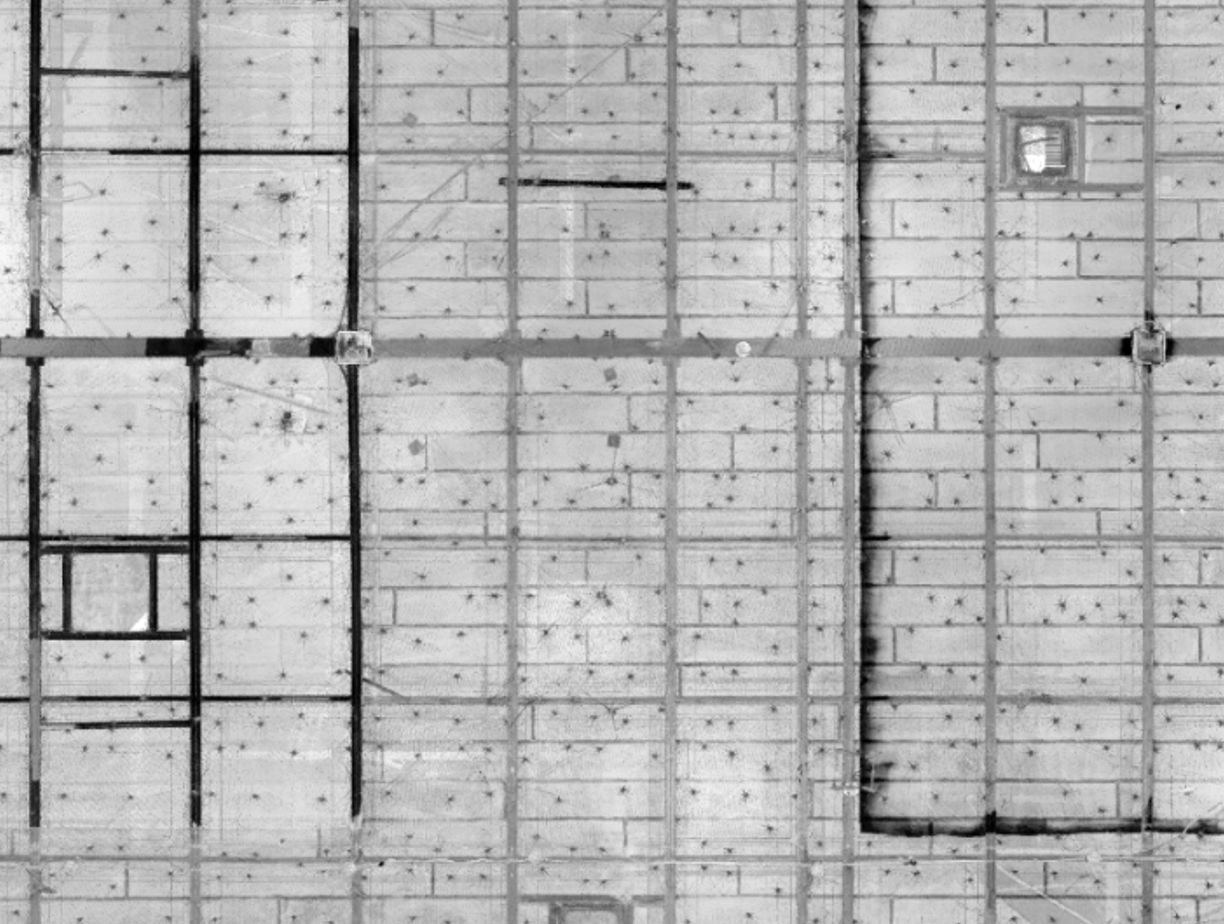
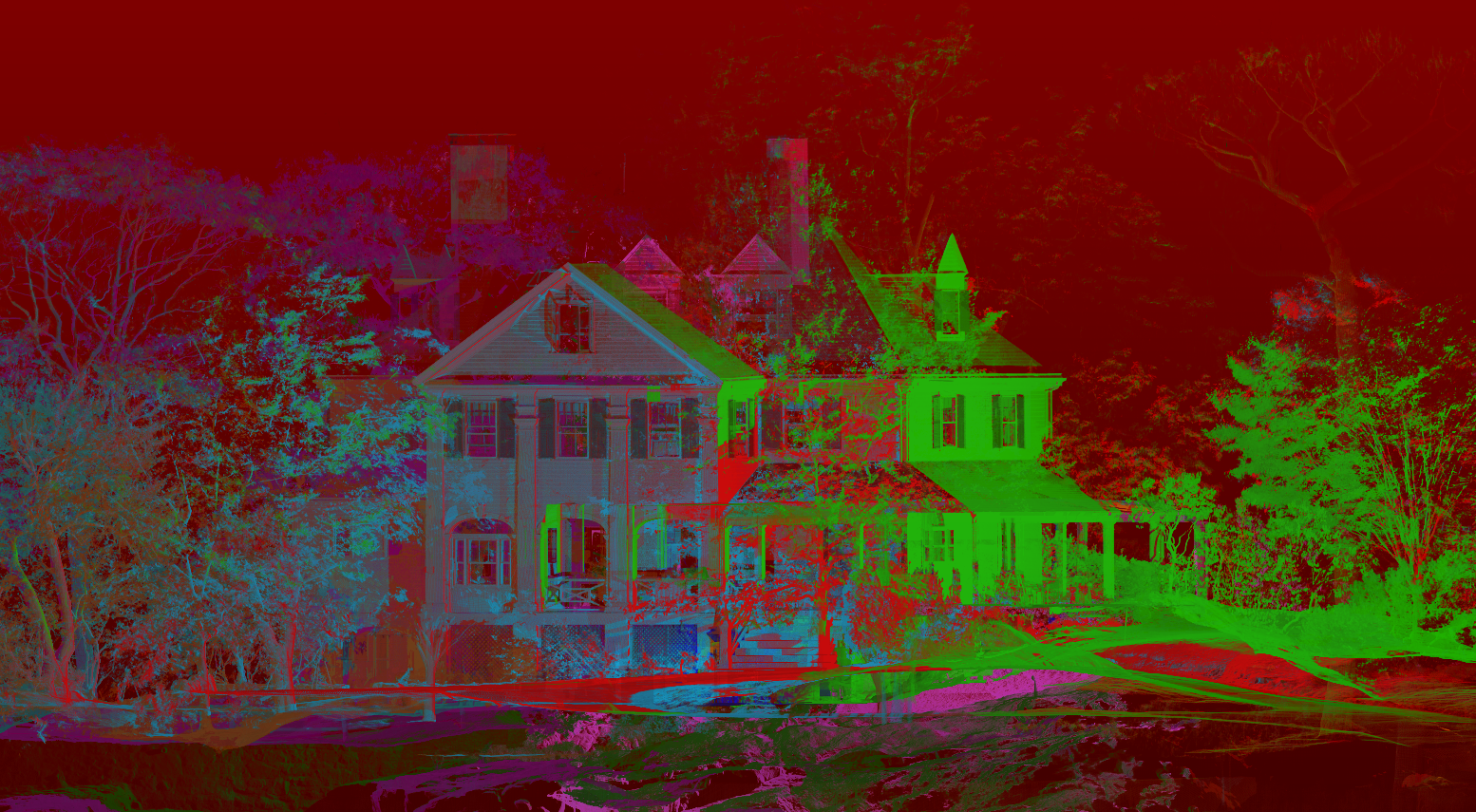
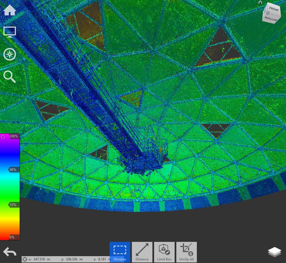
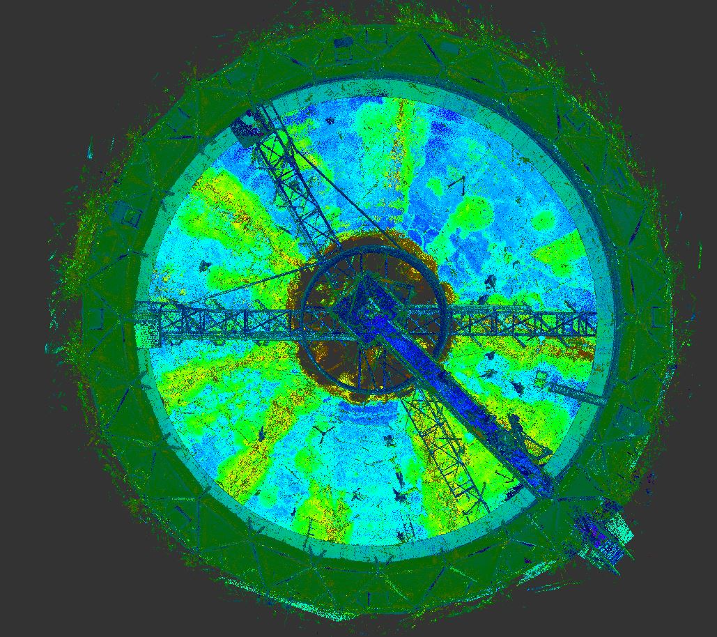
We use ground-based LiDAR, laser lines of light that measure ranges, to digitally capture geographical and spatial data. With laser scanning, single points defining object shapes are replaced by thousands of grid points, gained within minutes. The high-density, data-rich images provide the level of detail necessary for informed decisions. Additionally, remote, “hands-off” operation allows for mapping of elevated and hard-to-reach locations.
Better Mapping with BIM
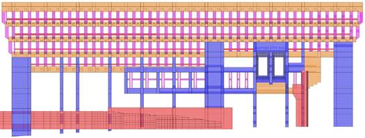
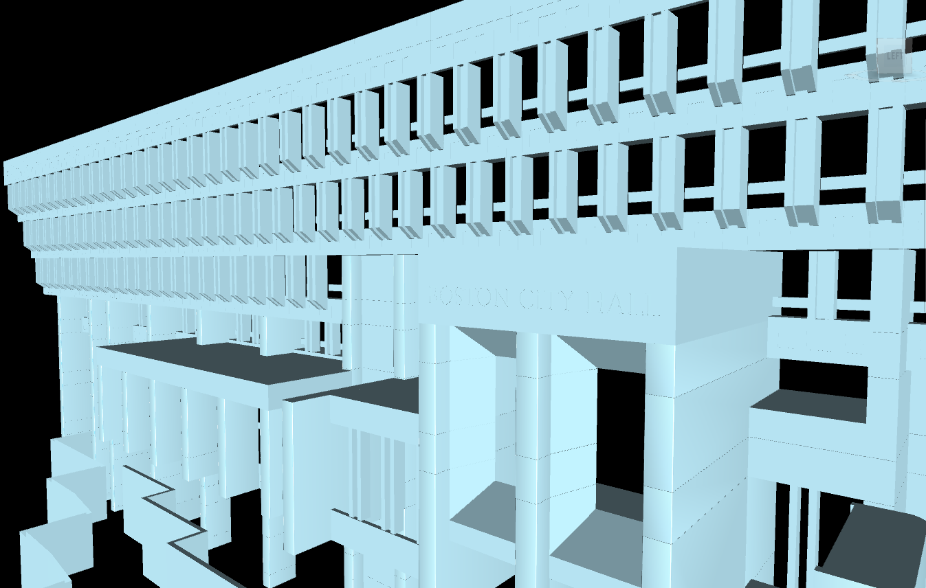
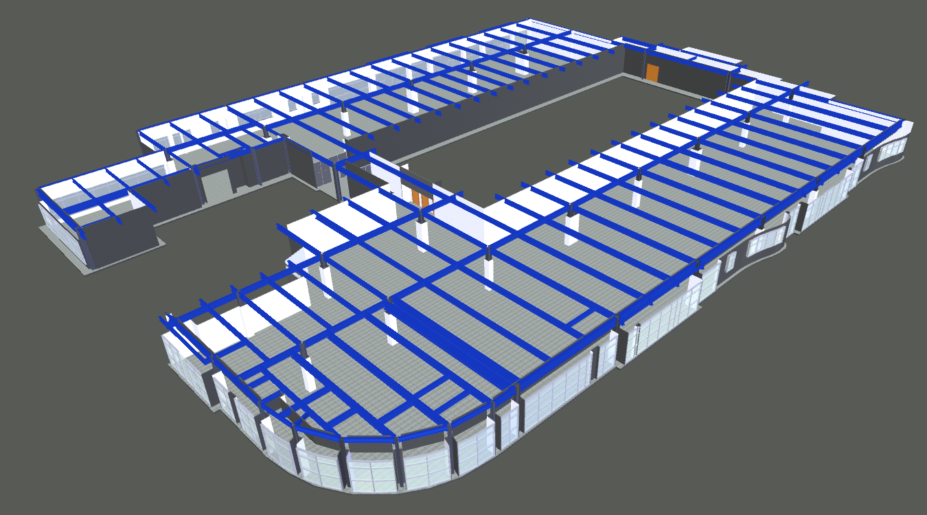
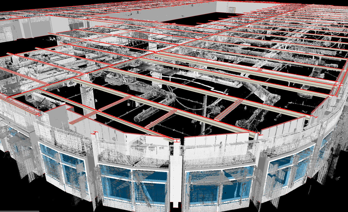
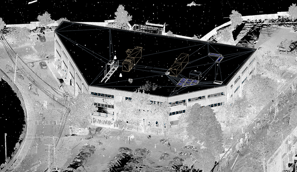
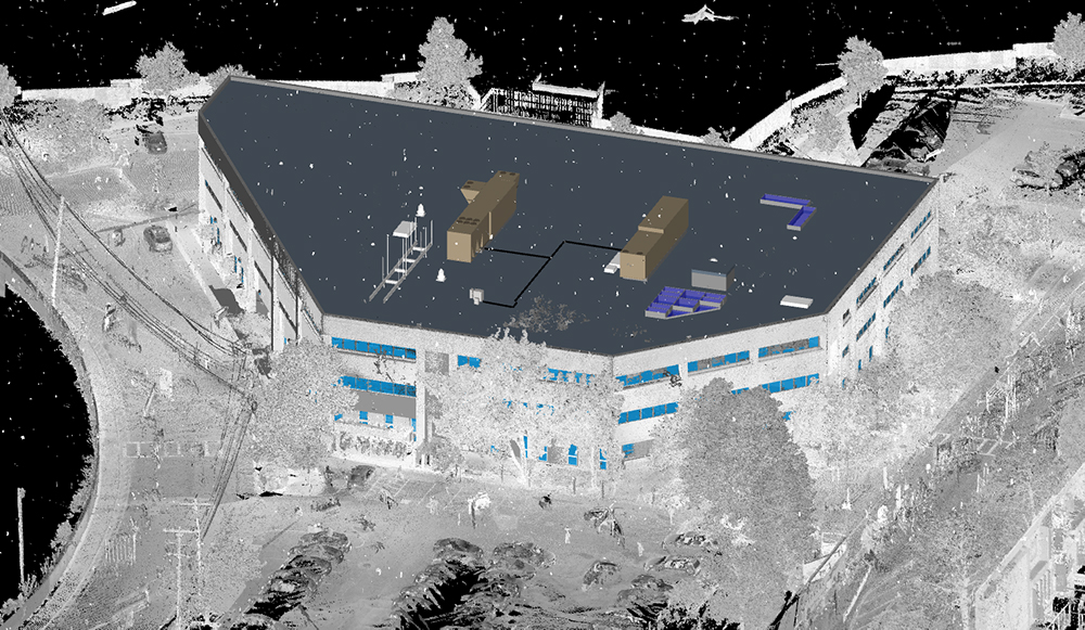
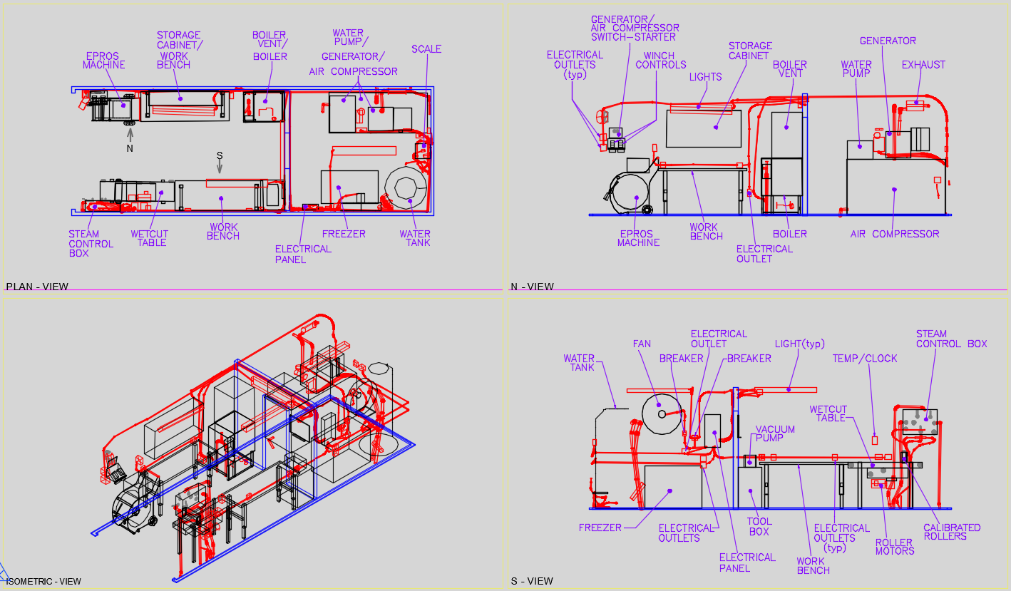
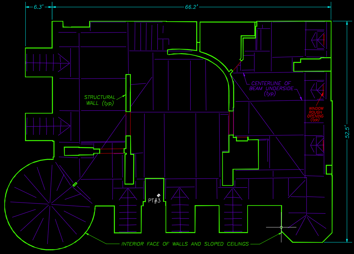
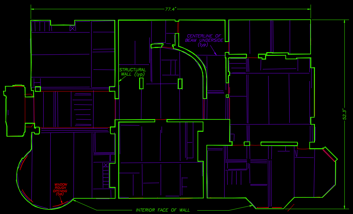
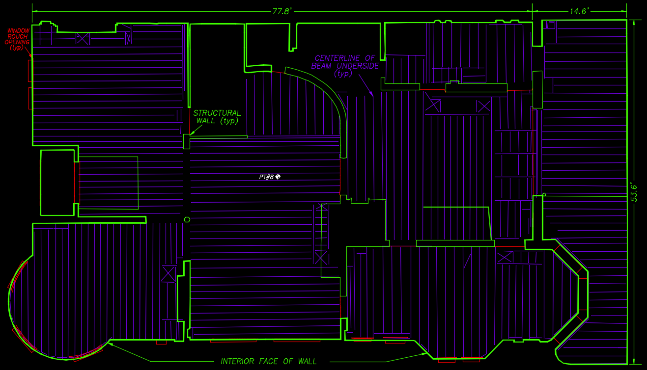
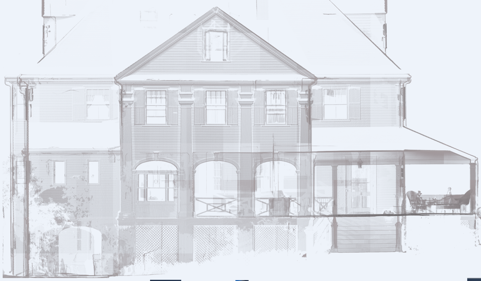
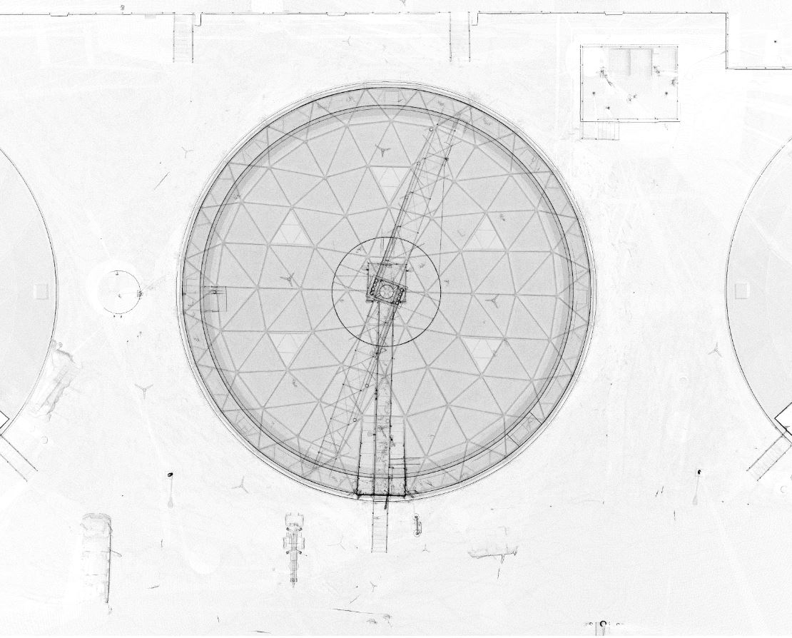
3D laser scanning data can be viewed as a 3D point cloud or exported to CAD format for design, dimensioning, and facade mapping. But, it can also be translated to BIM. Building Information Modeling or BIM is the standard design, construction and information technology for commercial, industrial, institutional and government building projects. 3D laser scanning is the ideal complement, providing BIM-ready data capture.
With our 3D representations, project owners have easily-integrated, ready-to-use data that streamlines the development process and communication between all development parties.
Projects

