A Flood of Data: Understanding the True Sea Level in Boston
A Flood of Data: Understanding the True Sea Level in Boston
Recently, a spring nor’easter in Boston brought torrential winds and rains to the city and surrounding region. In this particular storm, Boston’s waterfront area saw flooding above the height of fire hydrants and a state of emergency was declared statewide. While nor’easters are a historic fact of life in New England, rising sea levels are contributing to worsening impacts and raising concerns about the flood protection in the area.
By 2100, just a little more than 80 years from now, global sea levels are predicted, at least by some experts, to rise by up to four feet. For a waterfront city like Boston, that could lead to devastating results, especially given that sea level rise along the northeastern US coastline has historically been recorded three to four times higher than global averages. As sea levels rise, the design and construction industry faces greater challenges when preparing to develop sites along or adjacent to the waterfront.
To offset the impact of rising sea levels, flood resilience efforts and strategies have come to the forefront of infrastructure planning. The solution may sound simple: determine sea level and build above it. But, how do you determine a sea level that is in constant flux? To prioritize resilience, development professionals much first understand just what “sea level” means and how to prepare the site for a flood.
Which Sea Level?
When it comes to determining sea level, it is not a matter of “what,” but rather “which.” At the foundation of any flood resilience strategy is the project’s ascribed datum, or zero-elevation plane.
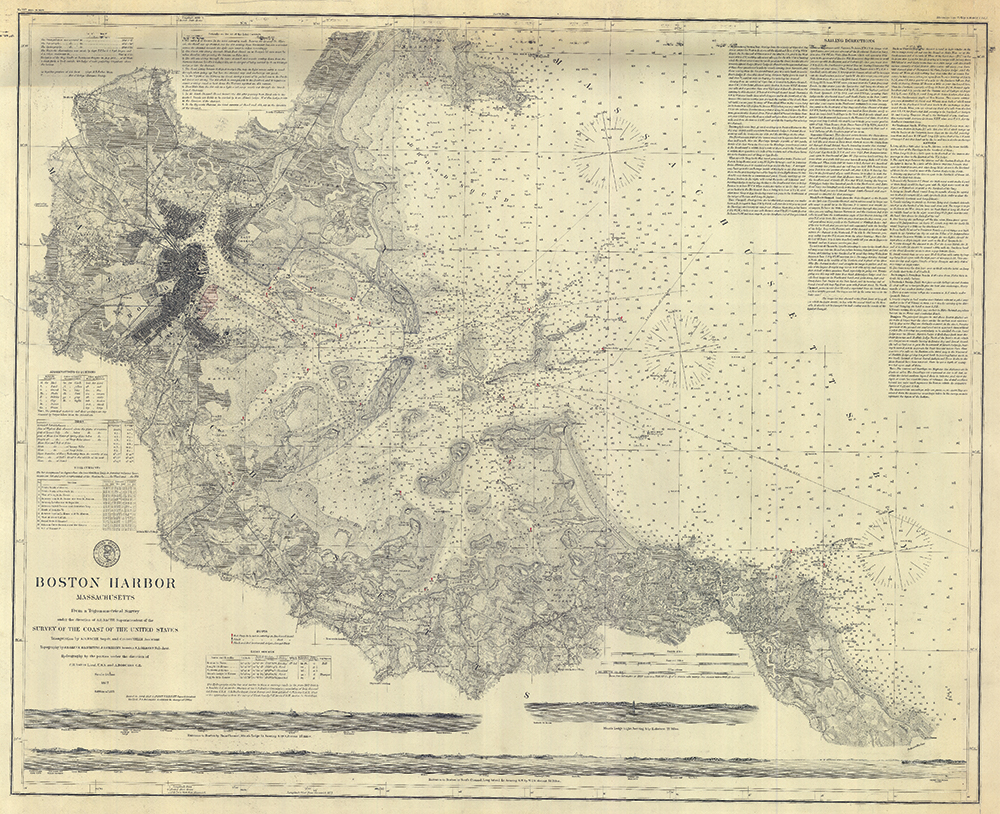
Nationally, there are two datums commonly used as reference points for flood resilience: the North American Vertical Datum of 1988 (NAVD’88) and its predecessor the National Geodetic Vertical Datum of 1929 (NGVD’29). But, most cities and states, particularly those whose development predates the adoption of the national datum, have their own datums that account for regional factors. In Boston, the most commonly used datum for development projects is the Boston City Base (BCB), which uses a NAVD’88 conversion factor of 6.45’. A solid flood resilience strategy in Boston begins with a land survey that considers and cross-references all relevant datums before ascribing which one will guide the project and foundation of the flood resilience strategy.
Factoring in Variation
National and municipal datums are not the only ones to consider. In old coastal cities like Boston, there are often other datums that may have been historically associated with a development site and others around it. For instance, the Massachusetts Water Resource Authority uses a datum that is 100.00’ below BCB that is critical to factoring in underground sewage systems when inspecting a site for development.
Additionally, tidal datums, which include average lows and highs as well as historic lows and highs, play a major role in flood resilience. Boston’s zero elevation is set at the mean low necessitating that cautious development projects consider the highest possible tide when making their site plans.
Expect the Unexpected
While most flood resilient site plans account for the typical, such as tides and municipal water systems, the best plans also account for the atypical.
When Hurricane Katrina hit in 2005, it brought devastation to residents, businesses and institutions across New Orleans and Louisiana, including the hospitals meant to care for those in disaster. Watching from another coastal city, Partners Healthcare of Boston determined to make flood resilience a top priority for its new Spaulding Rehabilitation Hospital site in the Charlestown Navy Yard, just steps from the Boston Harbor seawall.
Using BCB as the zero-elevation, the project also accounted for the FEMA 500-year flood elevation point that predicts the water levels in the event of a flood so severe that it is only probable to occur once every 500 years.
Partner’s Spaulding Rehabilitation Hospital now sits at 19.0’ above BCB and 30” above the FEMA 500-year floodplain level – both far beyond any city, state or federal requirements. With additional flood resilience strategies deployed—such as green roofs and strategic placement of critical infrastructure—the building is a national example of resilience in development.
“Everyone we interacted with in The Spaulding Rehabilitation Hospital project was aligned in prioritizing flood resilience, and we are proud to have been a part of such forward-thinking and innovative work,” said Co-founder & Principal of DGT Associates, Michael A. Clifford, PLS. “Coincidently, the BCB datum used for this project has its historic origins in the Charlestown Navy Yard, close by where the Spaulding stands today.”
Flood resilience in development projects begins with a deep understanding of all the datums and sea levels associated with a site. With a comprehensive site inspection, coastal city developers and the companies that hire them can lay the best foundation upon which to build their visions for a resilient future. DGT Associates works with design and construction professionals to survey development sites and deliver recommendations before plans are made or ground broken. Contact us for help with a site inspection.